
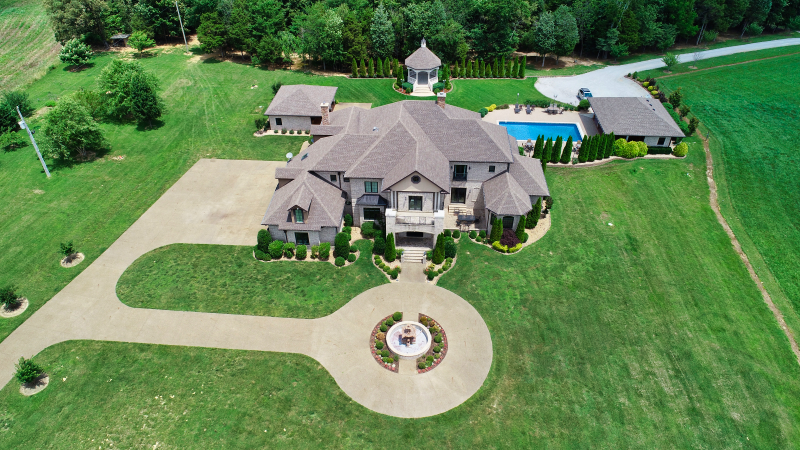
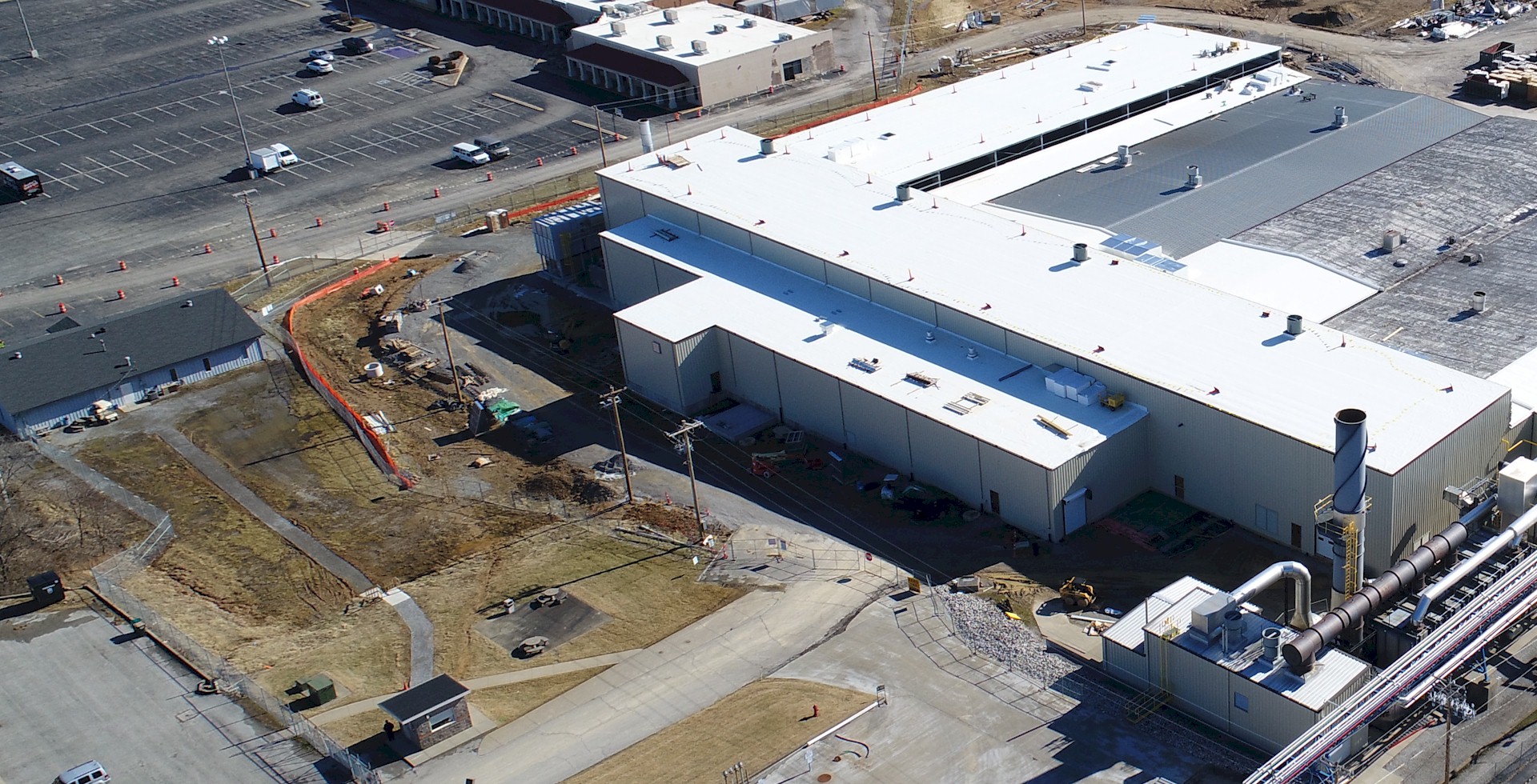
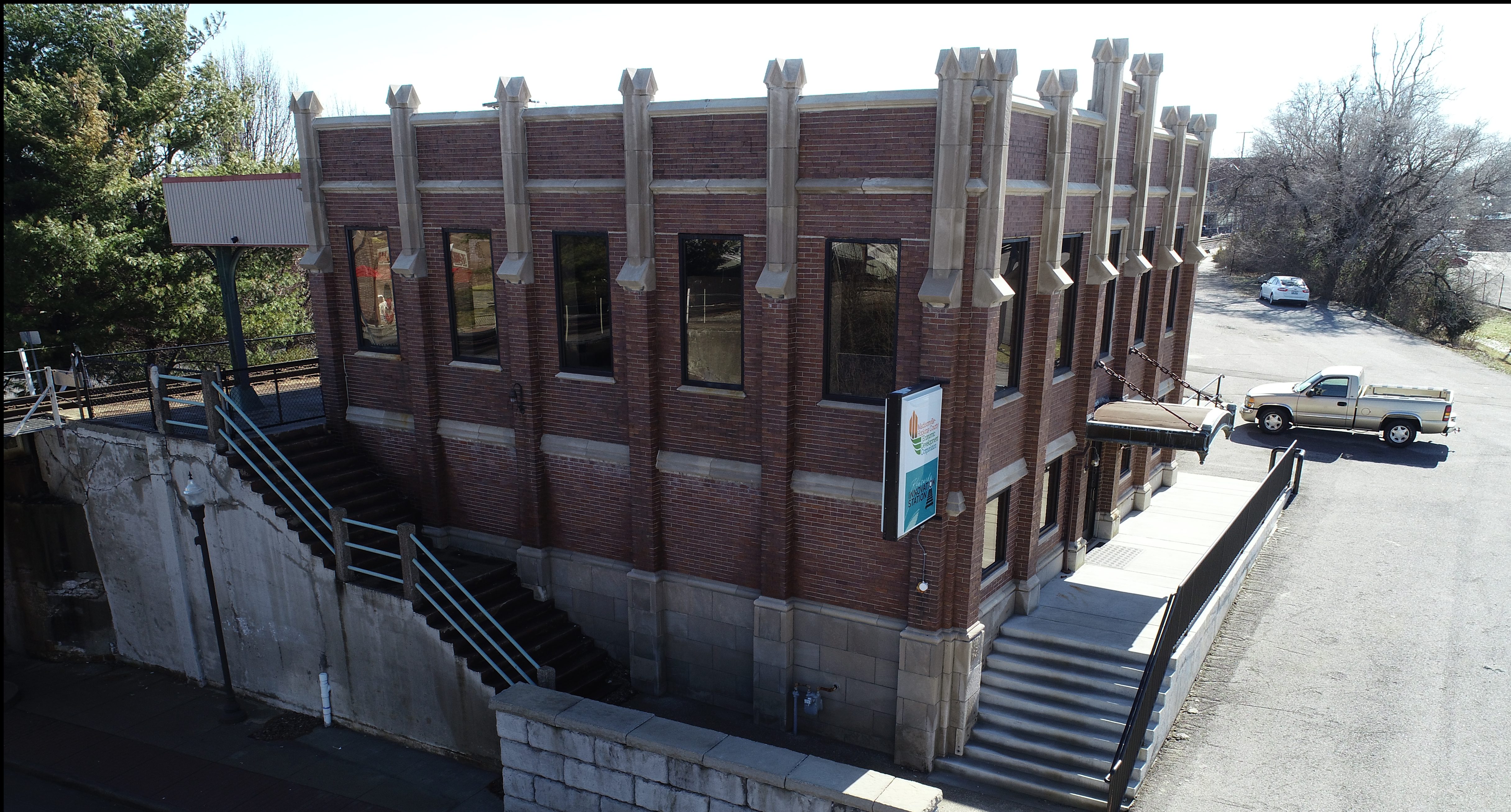
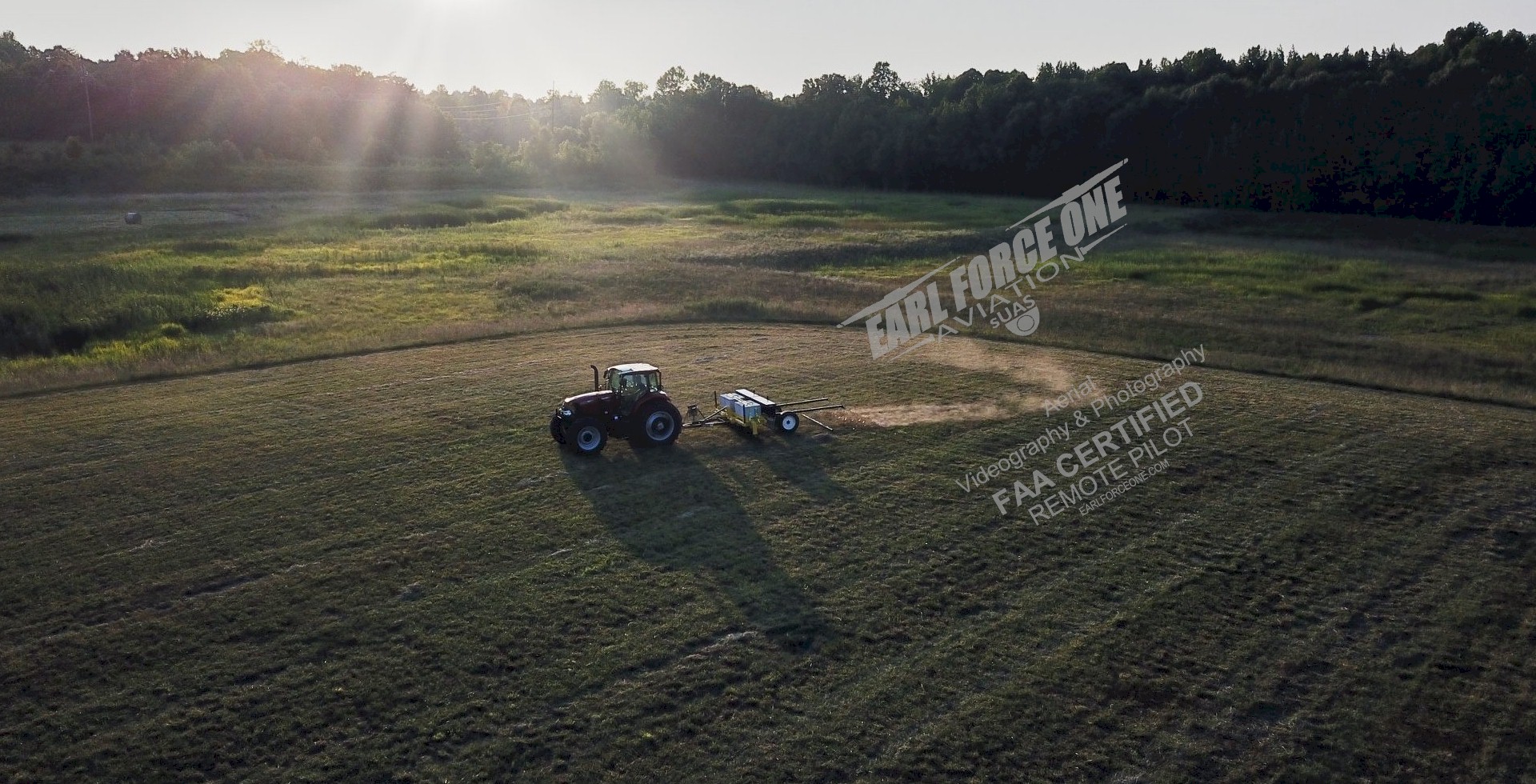
Need something to enhance your lobby, building or home? How about aerial photos of local buildings, structures, landscapes, lakes, or even your own home? Aerial photography is great for tourism, construction monitoring, real estate, damage assessments, insurance claims/adjustments, etc.
Aerial “Still” Photography:
How about a video? We use drone and satellite imagery to get aerial photos/video. The two types of photography can be combined to create stunning videos.
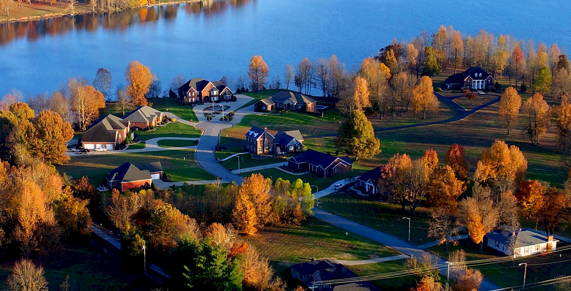
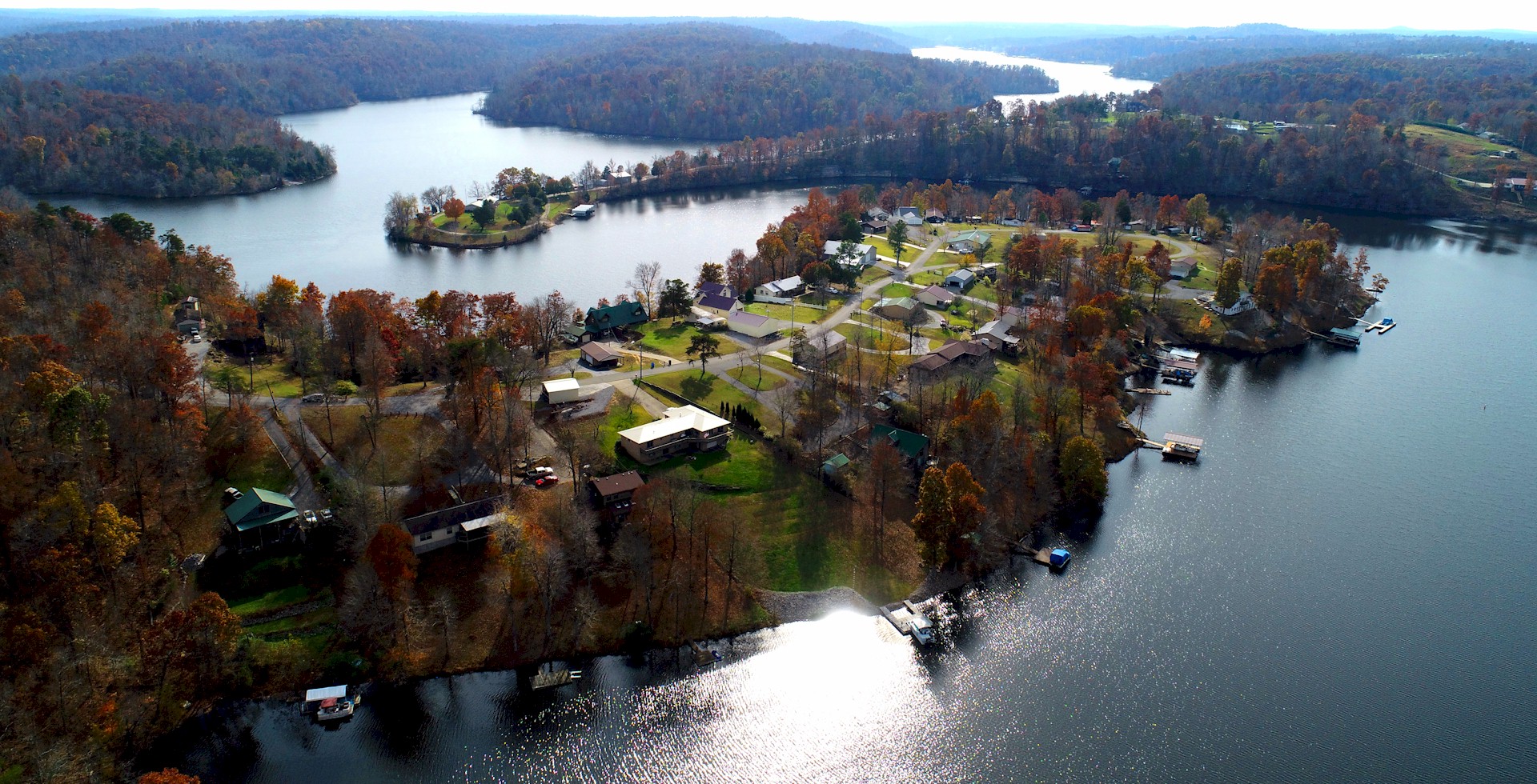
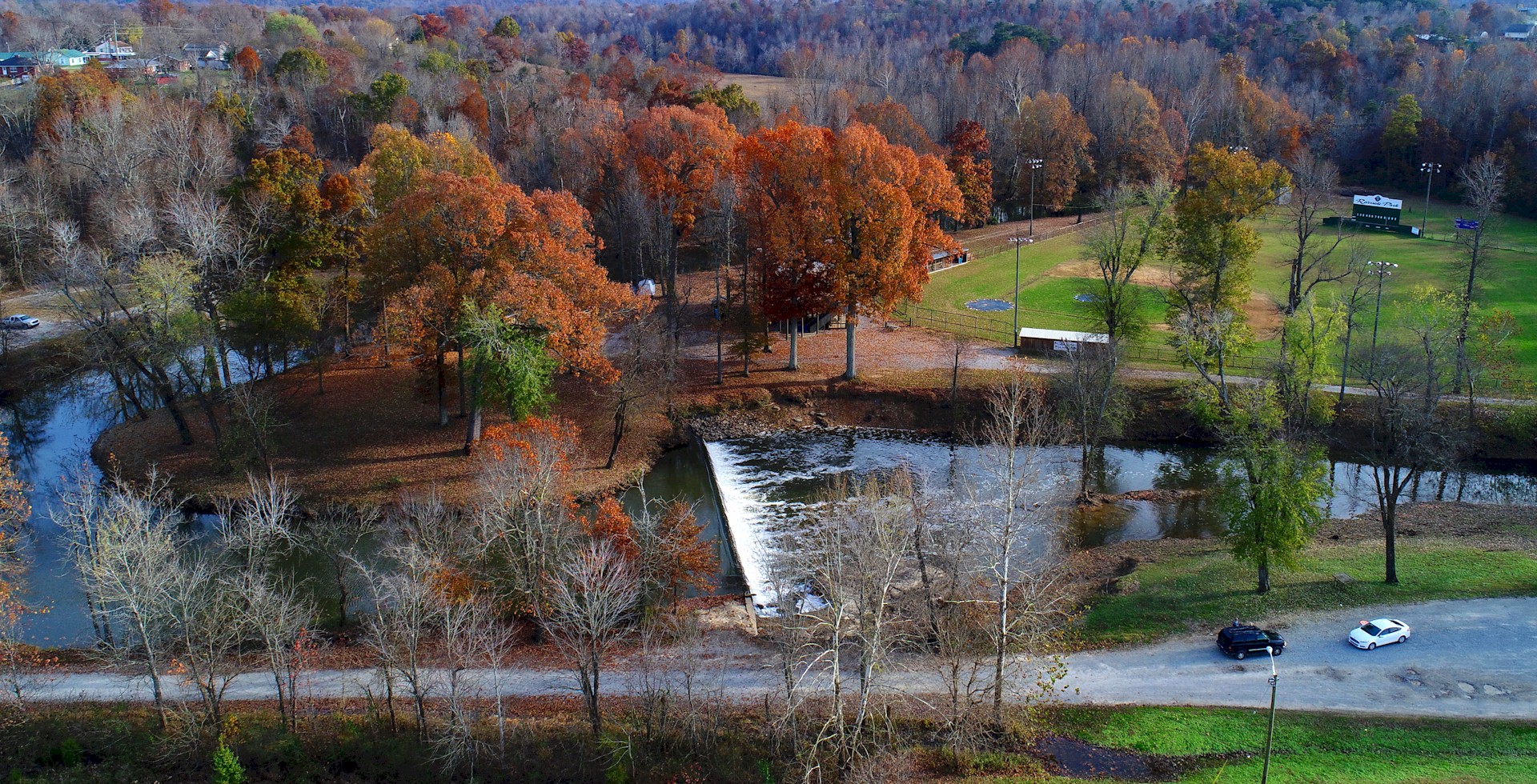
Located near an airport or any other FAA restricted drone zone? Property too large for a drone’s maximum altitude of 400 feet? Don’t want a film crew on your property? We can still provide a drone free aerial solution to meet your needs. Our satellite imagery is a little more up-to-date than what you can find on your own on the internet. See some of our samples below.